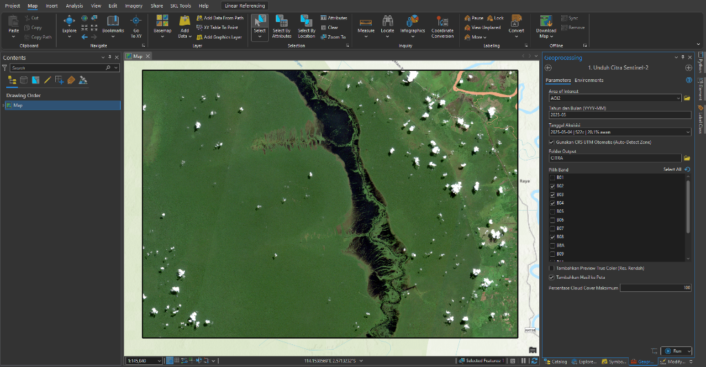
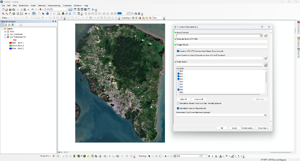
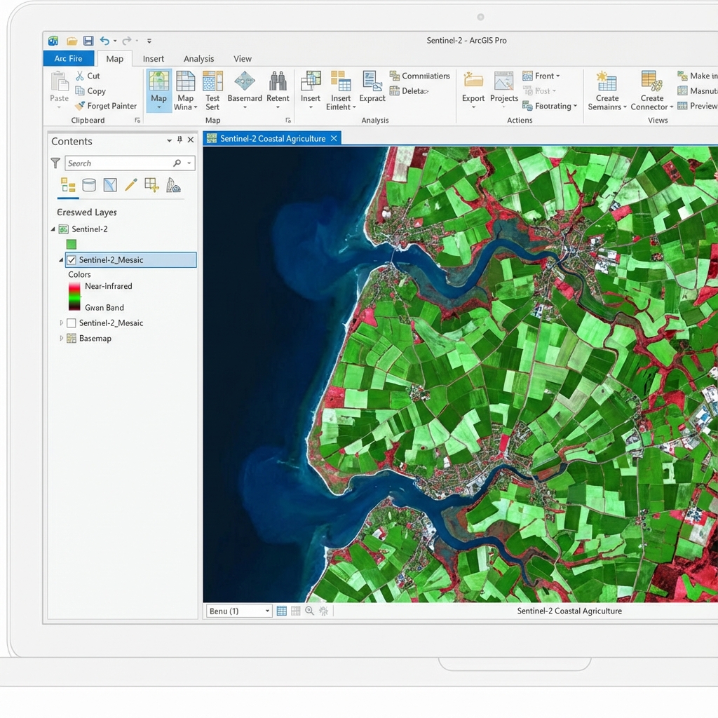
Tool otomatis pilihan profesional GIS. Download data citra satelit (Sentinel-2, Landsat 8/9) dengan output ter-clip sesuai AOI, filter awan, dan integrasi ArcGIS Pro & ArcMap.
Lebih Cepat, Lebih Akurat
Didesain khusus untuk GIS Analyst agar tidak perlu lagi membuka browser untuk download data mentah.
Filter Awan Otomatis
Auto-UTM Projection
Clip to AOI (Baru!)
Support Landsat 8-9 (Baru!)
Support Multi-Platform
3 Langkah Mudah
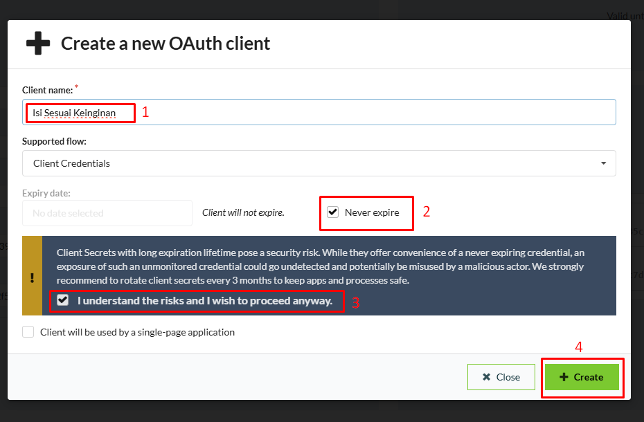
Register akun gratis di Copernicus Data Space Ecosystem. Masukkan Client ID & Secret ke tool setup.
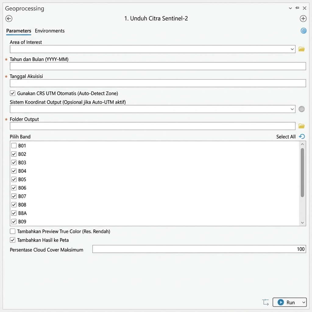
Pilih Area of Interest (AOI), Tanggal, dan maksimum tutupan awan. Pilih Band yang diinginkan (TCI, B4, B3, dll).
Klik Run. Tool akan mengunduh, menyatukan tile (mosaic), dan menambahkannya ke peta Anda otomatis.
Siap untuk memulai?
Dapatkan toolbox Copernicus Downloader versi terbaru (v4.0.0). Kompatibel dengan ArcGIS Pro dan ArcMap.
Python 3.x • Bundle ZIP
Python 2.7 • Bundle ZIP
credentials.json kosong (isi dengan ID Anda).